The GlobalMass project presented two posters at the Regional Sea Level Changes and Coastal Impacts conference, held last week in New York.
The first poster gave an overview of our statistical method and presented some initial results for global glacial isostatic adjustment (GIA) based on GPS data.
The second poster provided a review of the contribution of land ice (ice sheets, glaciers and ice caps) to sea level rise during the ‘satellite era’ (i.e. the past 20 years or so).

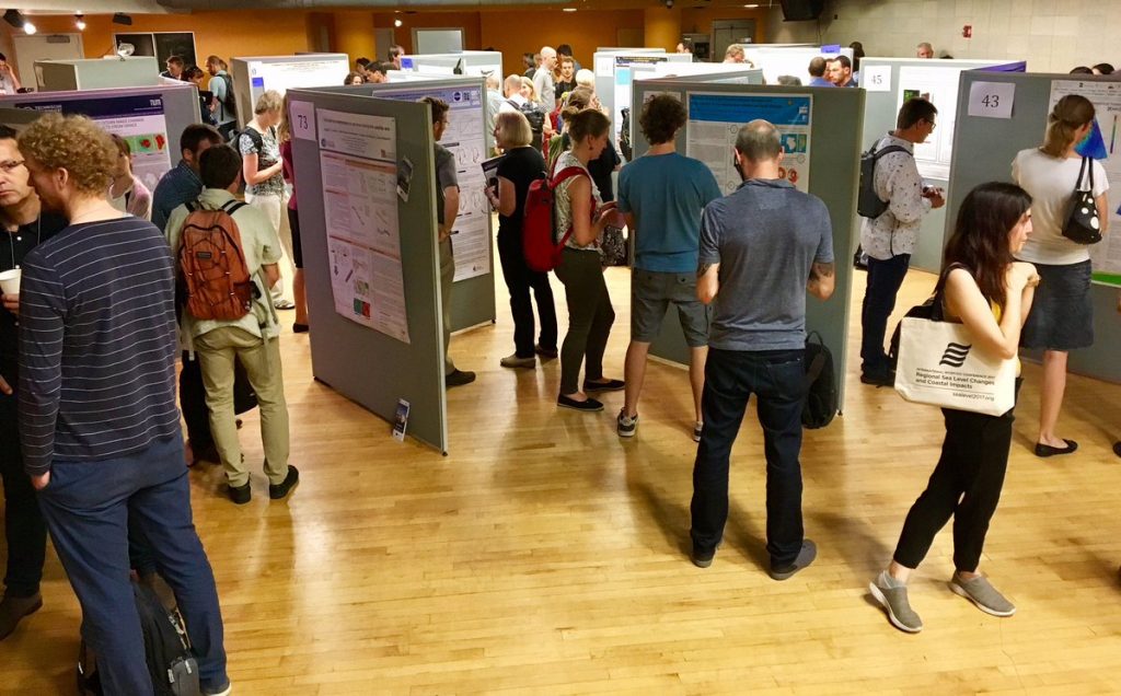
One of our posters on display at the Regional Sea Level Changes and Coastal Impacts conference (photo courtesy of @WCRP_climate)
The conference was organised jointly by the World Climate Research Programme’s (WCRP) Core Project on Climate and Ocean (CLIVAR) and the Intergovernmental Oceanographic Commission of UNESCO (IOC), The WCRP has previously established the theme “Regional Sea-Level Change and Coastal Impacts” as one of its cross-cutting “Grand Challenge” science questions.
The conference provided a showcase for current state-of-the-art regional sea level research, which will be an important input to the next IPCC assessment. Outcomes from the conference included an outline of future research requirements for improving our understanding of sea level rise and variability and a description of the observational requirements.

